 This is the main square in La Paz. We flew is here from the Galapagos and stayed a few days to acclimatise. We thought we were doing so well by acclimatising in Mexico City, but after two weeks at sea level in the Galapagos, it was like we had never acclimatised at all. La Paz airport is the second highest (commercial) in the world, 4058m.
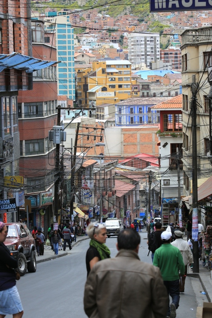 You can see how hilly this place is. Walking around here at 3800m is pretty slow going!
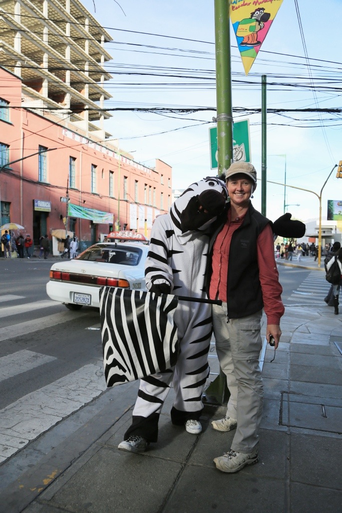
 I had to get a photo of these guys. This is the Bolivian answer to traffic control. These Zebras are on most corners in the city centre and are there generally be nice to people. They help people across the road, entertain stopped traffic with acrobatics, even polish windscreens. Why can’t we have this at home?
 Taking people shots in Bolivia is a bit tricky. The older generation are still of the opinion that having their photo taken captures their spirit, so I had to sneak around with the long lens and take photos from shop fronts. Lucky I didn’t get picked up for being a pervert.
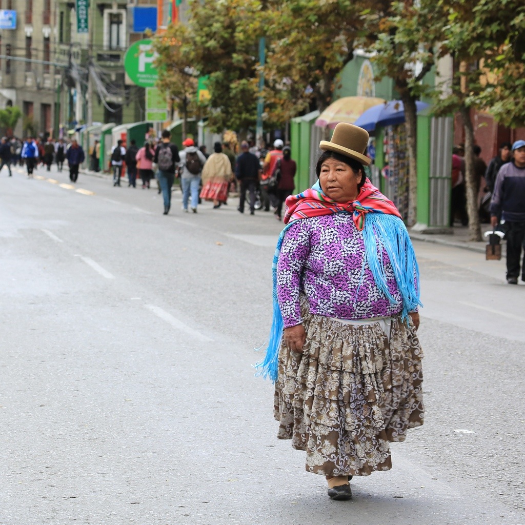 Still don’t know where the whole bowler hat trend came from….Also, so I found out later, the women are not really shaped this way. Their skirts have a number of pleats representing to various cultures and this makes them, ah,….poofy. May not be all due to the pleats in this woman’s case.
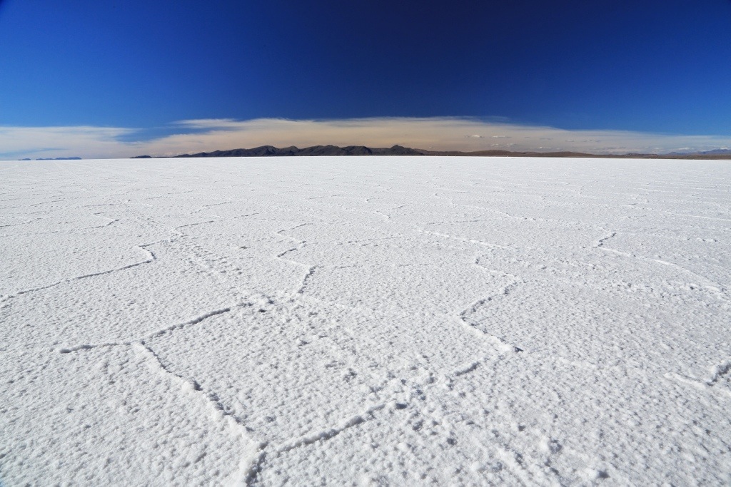
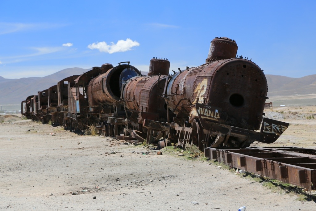 We headed off to the Salar De Uyuni. This is the world’s largest salt flats and covers a stagering 10,582 square kilometres. Amazingly, it only varies in altitude by one metre over that whole area so, apparently, it is sometimes used to calibrate the orbiting distance of satellites. Anyway, during the wet season, it gets covered in a layer of water which turns it into a 10,000 square km mirror. There were a number of lead and Borax mines that attracted international interests, but after the big companies left, they also left their rail networks which, ultimately, turned into a railway graveyard.
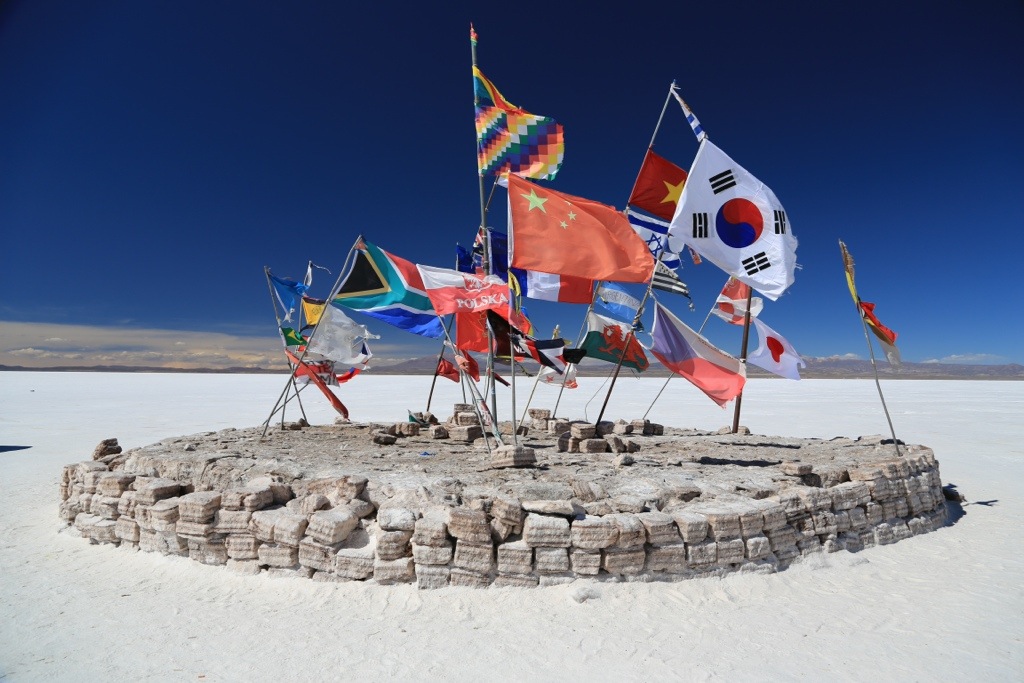 I was surprised to see the Kiwi flag but nothing to represent the Aussies!
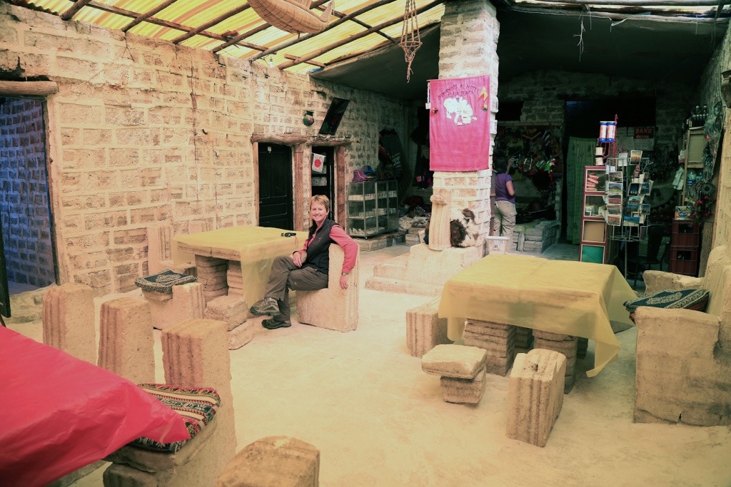
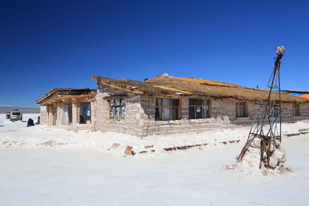 This is the famed Salt Hotel. It’s a dump. There are a number of these around the Salar, but this one is the only one actually on it. It’s made out of salt (inside and out) and doesn’t actually function any more. Not a bad thing considering it used to (and still sometimes does) dump it’s waste water on the Salar.
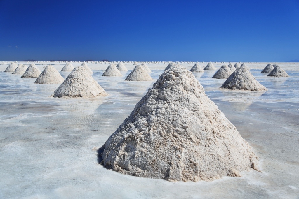 The Salar contains about 10 billion tonnes of salt an the locals remove about 25,000 tones annually. Not a renewable resource but should last about 400,000 years…
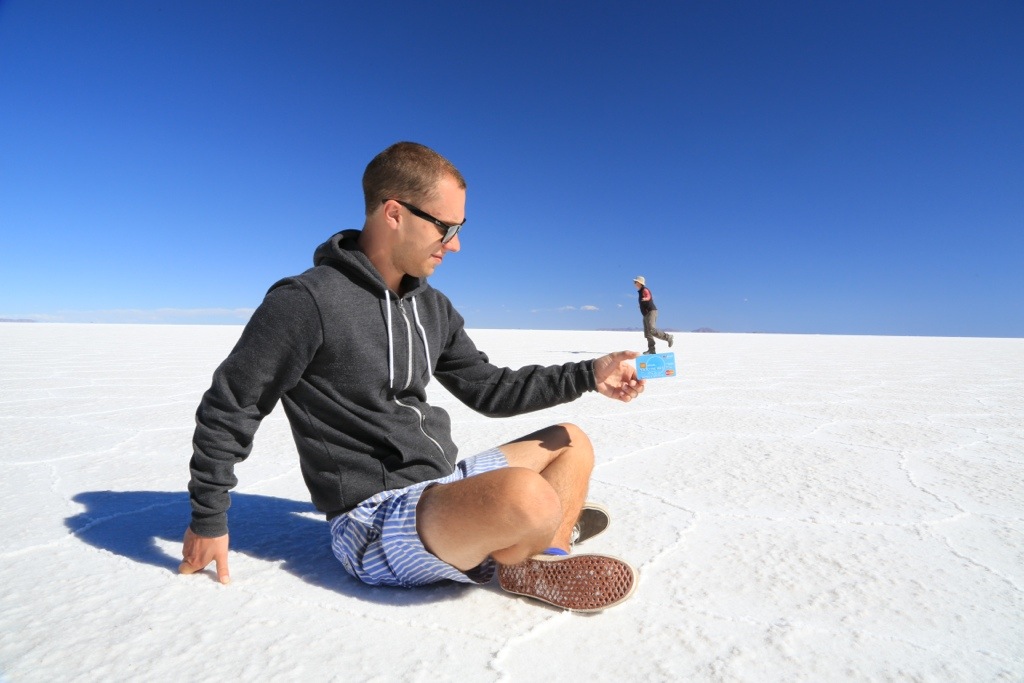
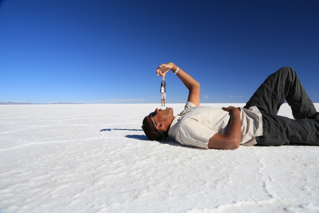
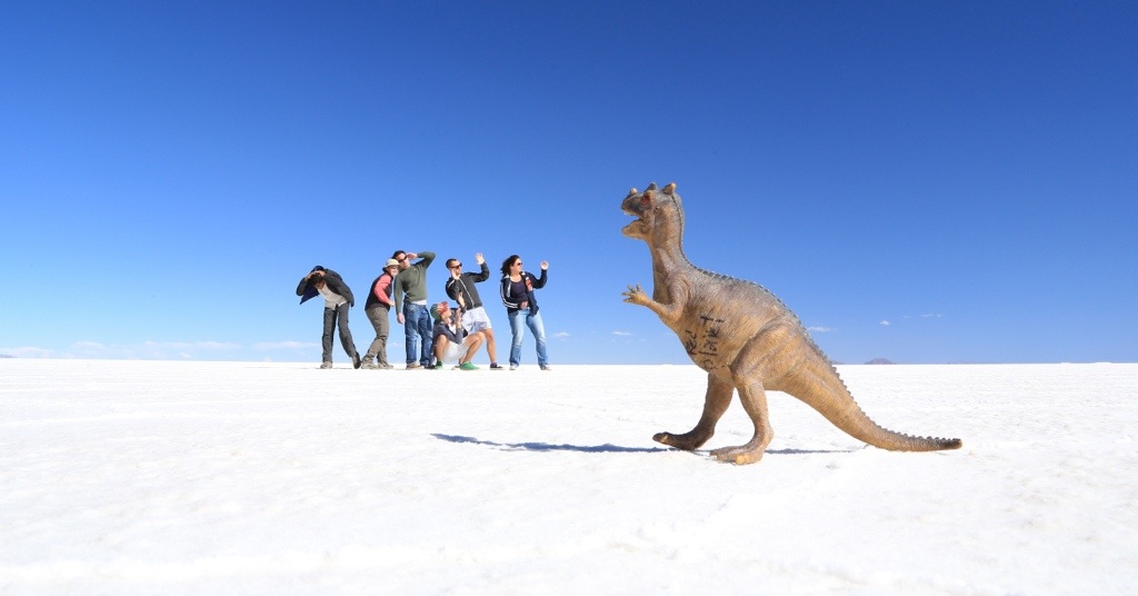 Ok, when there’s no water and therefore no mirror effect, this is the sort of thing you end up taking photos of! Because there are no real reference points on the Salar you can do some pretty silly stuff with the camera.
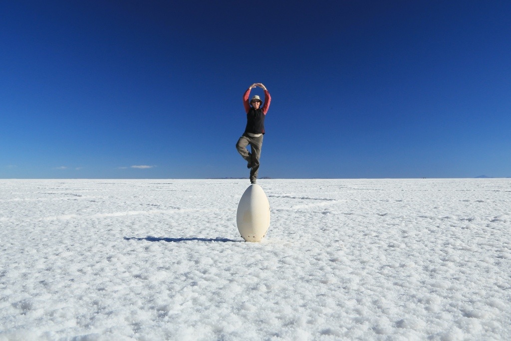 Chez actually found this flamingo egg in the middle of the Salar. What are the odds of finding a white egg in the middle of a 10K square km white salt flat!!? No, it wasn’t as big as it looks.
 Where’s the water at?!

 There are maybe a hundred jeeps getting around on the Salar a any given time but because it’s so huge, you almost always feel alone.
 After the Salar, we headed south into the desert. So weird to go from all white to all red in a matter of minutes. It’s still at around 4000m and with all the salt around the air is SOOOO dry. We were looking like prunes for days after this.
 Condor rock.
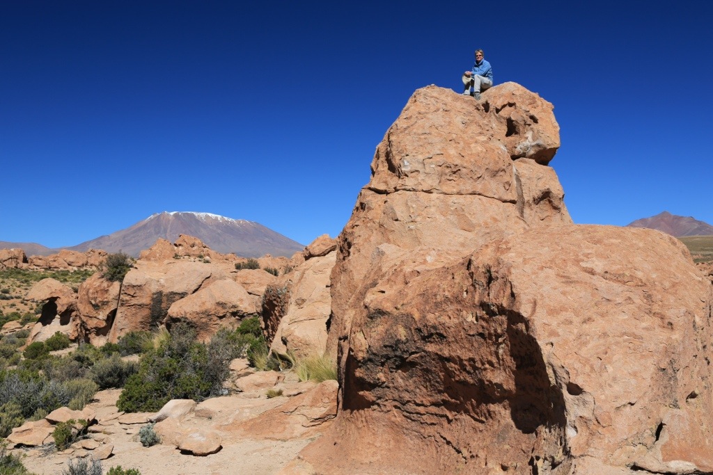 The entire area is volcanic and surrounded by dormant (and not so dormant) peaks up to 6000m
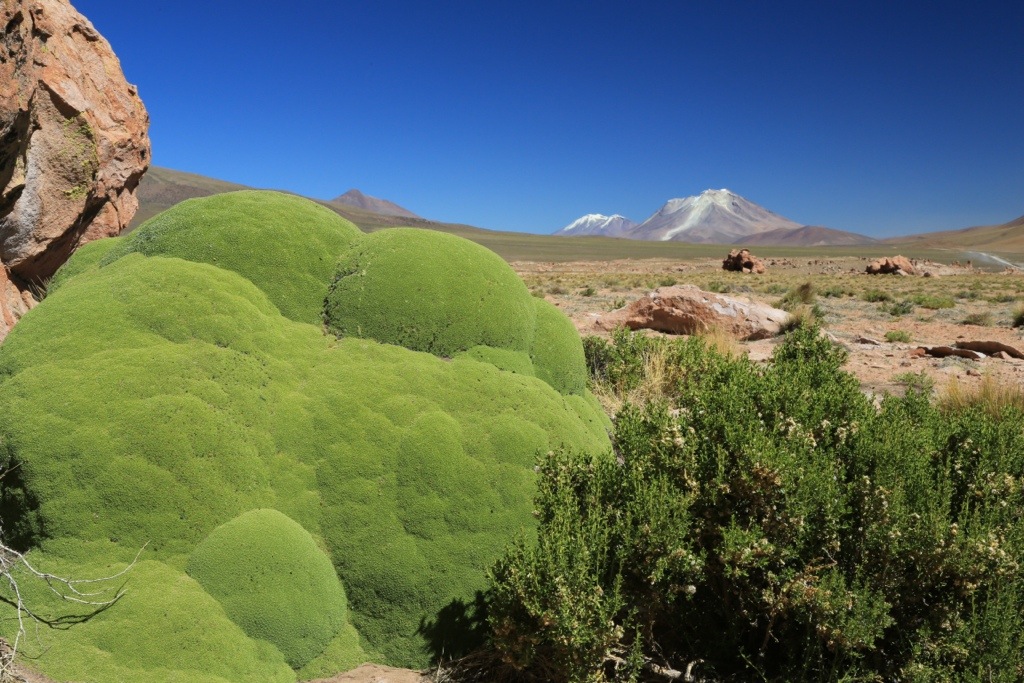
 In a way, this place reminded me a bit of Namibia. Really amazing and unexpected scenery.
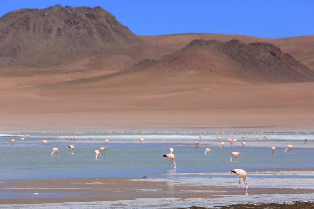
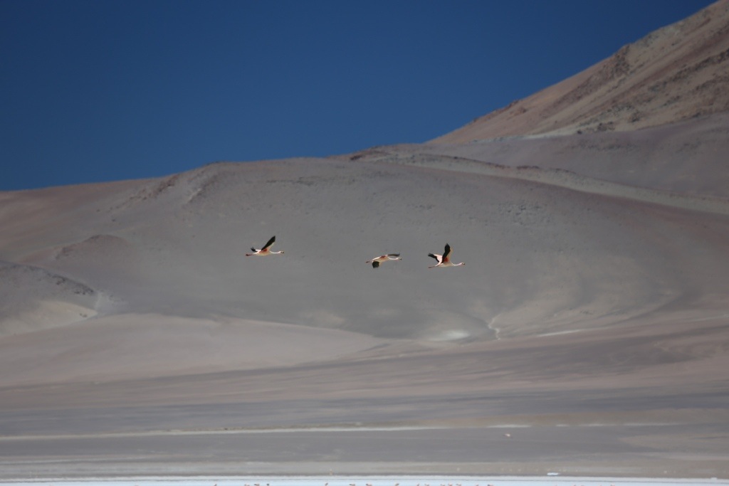 Who would have thought that you’d find flamingos at 4000m? Because of the shallow salt lakes, there were flamingos everywhere.
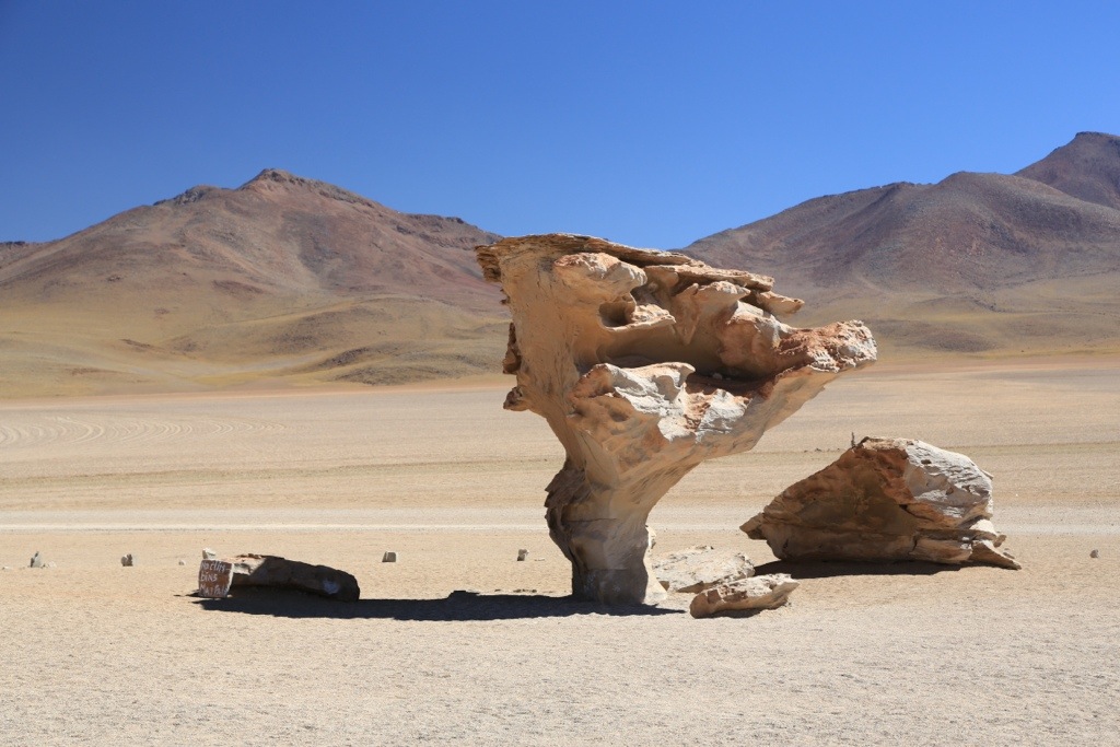 Rock tree. Not the most imaginative name…
 This is Red Lagoon. Because of the algae or minerals in the lagoons, most have an unusual colour.
 This place was at around 5,200m and was still active. Bubbling mud pools, you name it. The jeep actually had a hard time getting here because the air was so thin (also it was a piece of shit jeep).
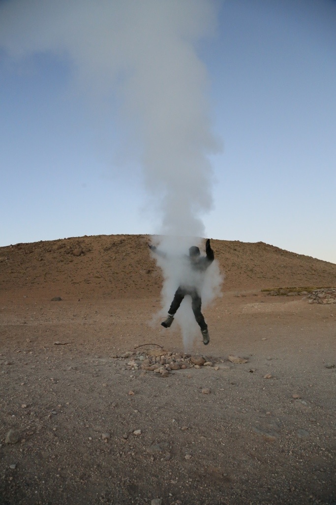 This is me defying death….not. The steam wasn’t that hot.
 Another thing you wouldn’t expect in the desert – hot springs. They were SOOO good to sit in before the sun started really cooking the place. Because you’re so high here, it can be blisteringly hot in the open and still cold in the shade.
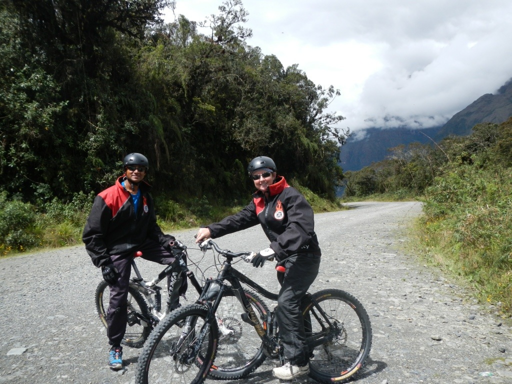
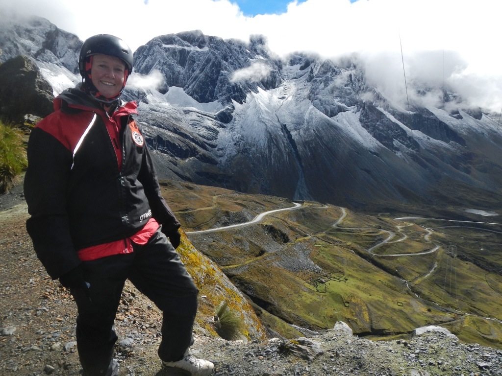
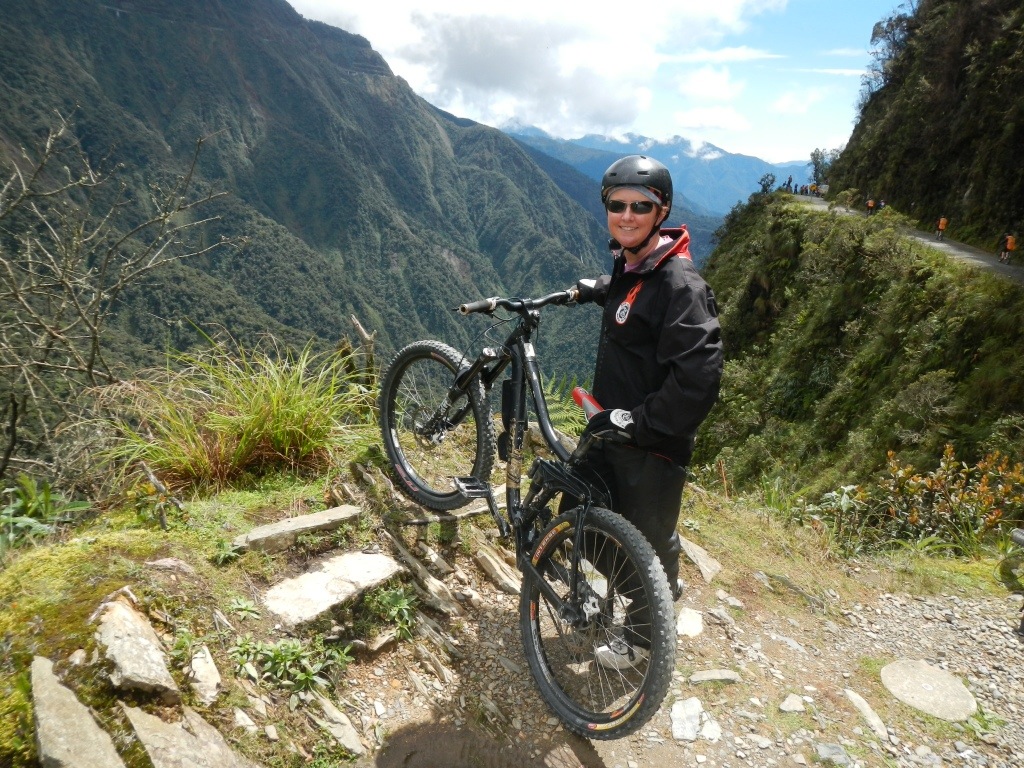
 Of course, after the Salar we had to have a crack at downhill bike riding on the North Yungas Road – AKA “Road Of Death”. In 1995, the Inter American Development Bank christened it as the worlds most dangerous road because of the 200 to 300 travellers killed on it annually. Now it’s mainly traversed by Bike tour groups, so it’s not that bad unless you have chosen to use a cheap operator who supplies bikes with dodgy breaks etc. People still die on the road. One Chilean girl fell off the cliff after stepping back to take a photo! This is my Bad Ass look.
 Hard to keep any eye on where you’re going when the scenery looks like this.
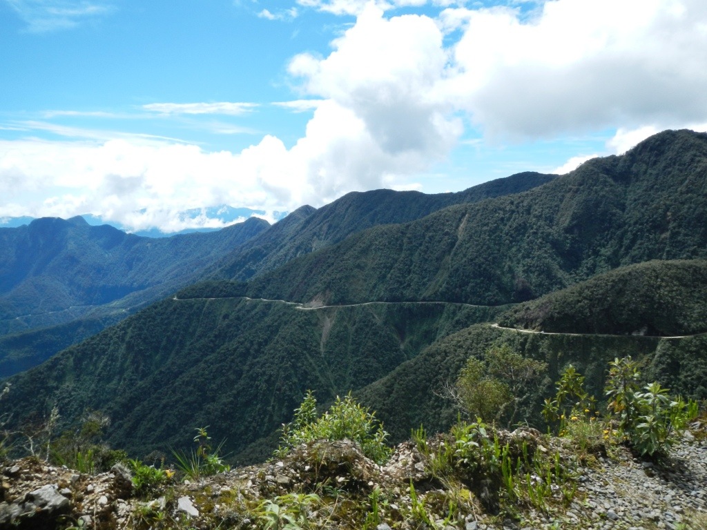 That’s the North Yungas Rd hugging the cliffs.
 This is Chez’s Bad Ass look.
 At he bottom of the road you’re back into rain forrest. We recovered at a wildlife refuge. We weren’t supposed to touch the animals, but….
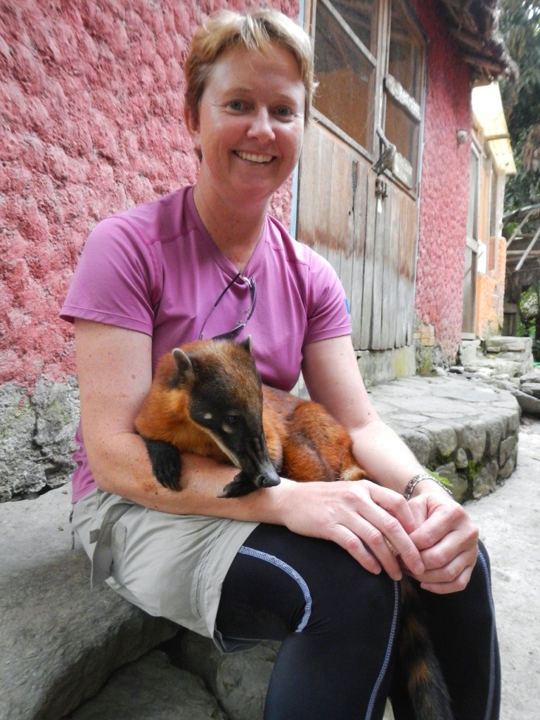 We also got eaten by sandflies here because the tree hugging guide didn’t like us using DEET!
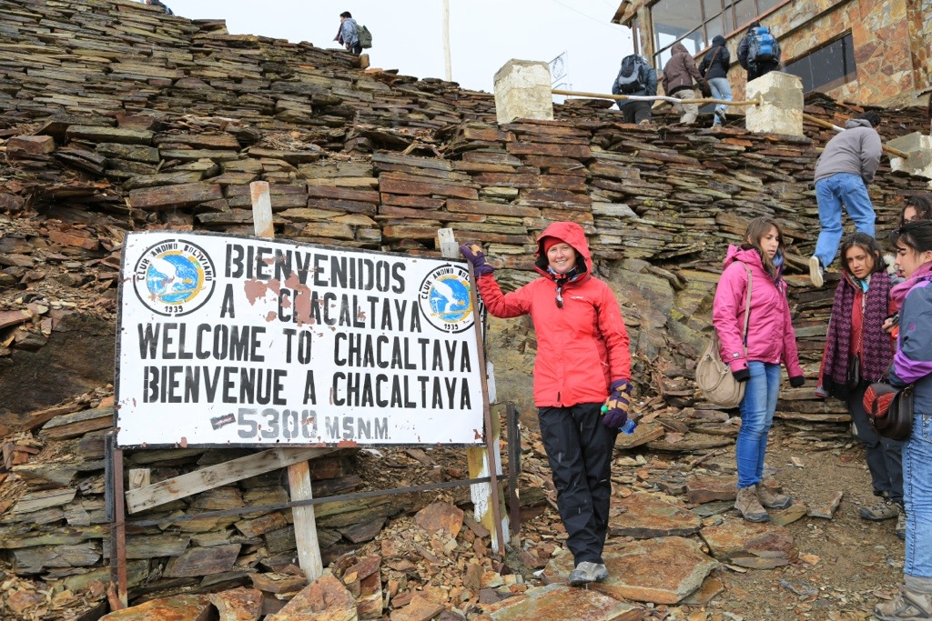 We ended up with an extra day in La Paz because of road blocks on the road to Titicaca, so we took a trip up to Chacaltaya. I swear, the road to get here was worse that the one we biked down the previous day. The bus dropped us at 5,300m and we walked the remainder 200m to the summit. It’s actually an old ski resort, but the glaciers have retreated and now it’s abandoned.
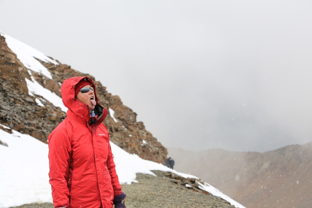 It still snowed on us, though.
 This was the highest Chez had been (Maxed out at 5,200m on Kilimanjaro). Good effort.
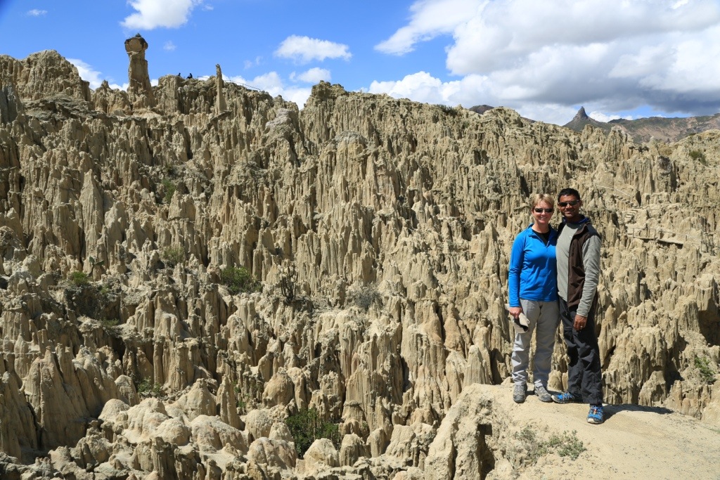 After Chacaltaya we visited this place called Moon Valley. The weather was much better.

")


THANK YOU for sharing… STUNNING!!!.. & GREAT STORIES…xx
You guys will have to have a documentary night(s) with all the wonderful photos and experiences you have had! 🙂
Great photos guys. Glad you’ll are having a good time.
Take care and keep in touch.
Love
Conrad
Hi Conrad,
Thanks for checking out our blog. I’m trying to keep in touch but neither of the email addresses I have work (both my Easter wishes bounced back to me) and you are always “off line” on Skype. Could you please send me your email address and if you’d like to have a chat, turn your Skype on.
Look forward to catching up.
Bunzo